The Florida west coast between Crystal River and Port St. Joe is often referred to as the “Forgotten Coast” because there’s not a whole lot out there. I don’t think it’s forgotten so much as most of it is National Wildlife Refuge and National Forest land and there’s no large city to create sprawl.
Heading north from Tampa we take the Suncoast Parkway until it ends at US 98 south of Homosassa.
Although the Suncoast violates our backroads philosophy, we go that way because there’s practically no traffic on this northern section, we can putter along at 55, and it avoids the huge traffic jam of US 19 from Hudson southwards. An interesting tidbit; the Suncoast was planned to go much further north but the citizens of Citrus county said “no thank you.”
Take US 98 west, then take US 19/98 north at around Chassowhitzka.
In Homosassa Springs a worthwhile sidetrip is to turn west on Halls River Road, then take a left on Fishbowl Drive and go to Homosassa Springs State Wildlife Park.
Injured manatees are brought to the springs for rehabilitation and eventual release; the park has an underwater platform they call “the fishbowl” where you can look out into the spring and see a bazillion fish and several manatees. The park also has lots of gators, birds, cats and Lucifer the hippopotamus. It’s well worth the stop.
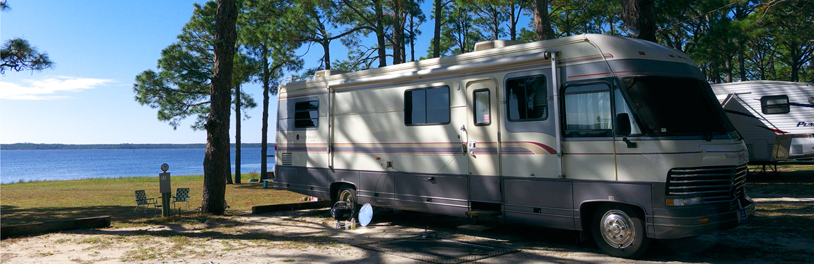
There a couple of commercial RV parks down in old Homosassa.
Heading up towards Crystal River, and interesting drive is nine-mile Ozello Trail.
The road winds through coastal marshes with stunning wide-horizon vistas to the tiny communnity of Ozello. It’s a fairly narrow curvy road, and don’t even think of pulling an RV off onto the shoulder; you’ll be waiting for a tow truck.
The reward on the right near the end of the road is Peck’s Old Port Cove restaurant, which specializes in fried softshell crabs. Of course they also have other traditional southern fried seafood. Note that Peck’s is cash only.
Just past downtown Crystal River is Charlie’s seafood restaurant. Charlie owns a small fleet of fishing boats so the seafood is always fresh.
Proceeding northward you’ll eventually come to the turnoff on SR 24 to Cedar Key.
Cedar Key was a small fishing community but when the Florida voters idiotically put 12,000 gillnetters out of work in the mid ’90s because of a dirty PR campaign by seafood importers, the fishermen of Cedar Key turned to clam farming. Clams had always been plentiful in the waters around Cedar Key; farming greatly increased the availability.
If you want to stay in Cedar Key we highly recommend the Low-Key Hideaway, a small motel and RV parked owned long-time RVers Pat and Cindy Bonish. There are only five RV spots so be sure to call 352-543-0700 for a reservation. Downtown Cedar Key is about a mile walk or bike ride if you don’t have a toad; clam cowder at Tony’s is a must-have.
OK, now back to northbound US 19. You’ll eventually pass along and over the Suwannee River, where jumping sturgeon routinely knock people out of boats.
The town of Perry is famous for one thing, it’s papermill. Depending on wind direction you’ll smell Perry long before you get to it but at least it’s not as bad as it was years ago.
In Perry, watch for the turnoff on west US 98, Hampton Springs Road, and head west. Better check your gas gauge; there aren’t many gas stations once you get outside of Perry for about 40 miles.
The first stop is St. Marks NWR and lighthouse about 10 miles down Lighthouse Road. The turnoff is just east of the bridge at Newport.
Unfortunately there’s no camping in the NWR but right at the Newport bridge is Newport Park and Campground (see our Campgrounds section).
Heading west from Newport you come to CR 363 turnoff to St. Marks; head south on it down to St. Marks and you’ll find a couple of “oyster bar” style seafood restaurants.
Heading westbound again on US 98 you can take CR 365 south, then CR 367 to a small county-owned beach at Shell Point or stay on 365 to the Spring Creek Restaurant.
Back on 98 again, you’ll pass through Panacea, cross Ochlockonee Bay, and then you’ll be on the coast road through Carrabelle all the way to Apalachicola.
Of note in Carrrabelle is the world’s smallest police station. It’s a phone booth, and the phone rings in the chief’s house. Also just east of Carrabelle is the Ho-Hum RV Park. We don’t know anything about it other than it’s said to be peaceful.
At Eastpoint you can take the SR 300 bridge across to St. George Island and state park. Once you get past the houses into the state park you’ll fnd miles and miles of unspoiled beach. Note that the campground is _not_ on the beach; it’ll get mighty sweaty and buggy in the warmer months.
Heading west on US 98 across Apalachicola Bay the bridge drops you straight into downtown Apalachicola.
We understand you can boondock at the municipal marina west of the bridge.
Belly up to the bar at the historic Gibson Inn or set a spell on the porch. While there we met a woman who had a screw loose in her head; she really did, you could feel it wiggle. Boss Oyster is one of several fine seafood restaurants in Apalachicola.
Head out west on US 98 again, and about seven miles west of Apalachicola bear left onto SR 30. Be sure to stop at Indian Pass Raw Bar for some beer’n’oysters. Follow SR 30, becoming CR 30E, to Cape San Blas and the St. Joseph Peninsula State Park.
Camping is availalable but the campgrounds aren’t oceanfront, so beward that during the warmer months the heat and humidity are oppressive and the no-see-ums will carry you away. No-see-ums are tiny biting flies you can’t see but you sure can feel.
The beach at Cape San Blas faces a high-energy part of the Gulf of Mexico so very high dunes have built up. Again, miles and miles of unspoiled beach.