Huntington Beach would be an awesome place to be in the summer. Unfortunately yrs truly doesn’t have that much sense.
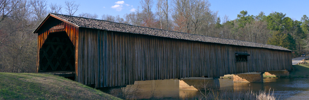
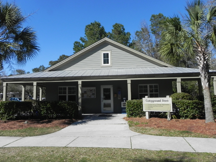
The park’s on Terrapin Road. I love the name. We trundled across a bridge to the park office and found two huge beach chairs. We got checked in and found our spot in the campground on the second try because the idiot driving didn’t notice the numbers, then got all situated in the cold rain.
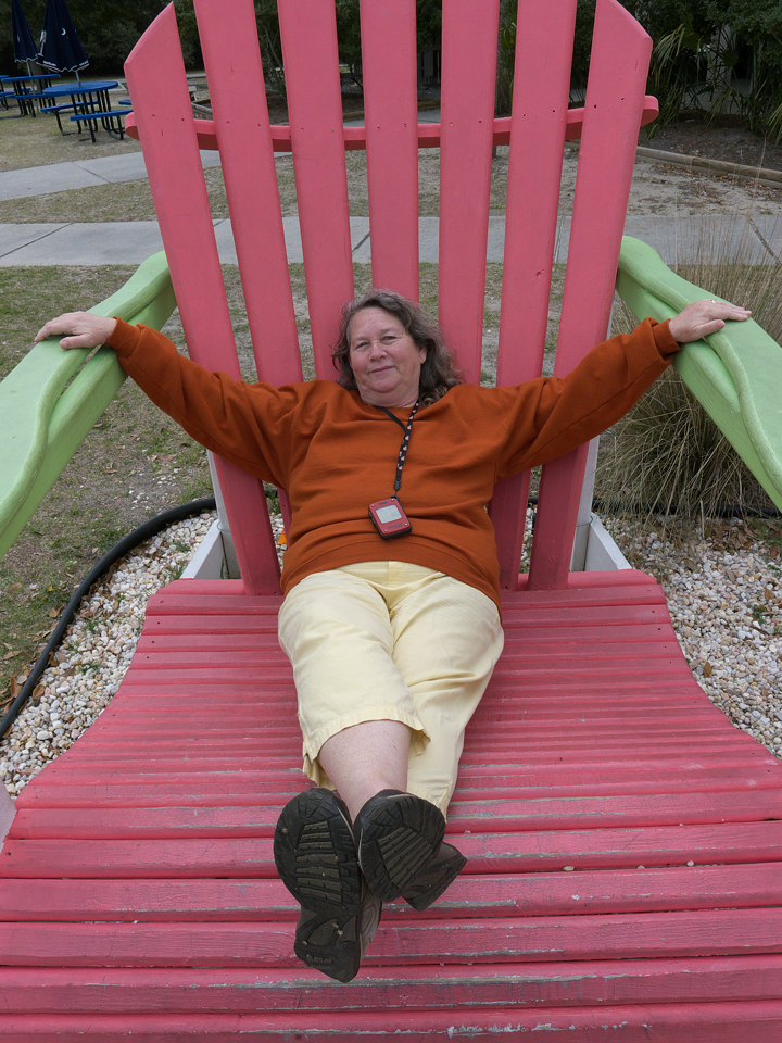
Mom’s a kid again.
The next day was still cold and wet so we stayed in; there isn’t a whole lot to do at a beach park when it’s cold and rainy. The next day was Mom’s birthday and we got to get out and wander around. The beach would’ve been extremely perfect in the summertime.
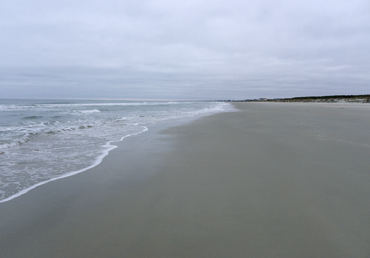
The coast from Cape Romain northward is called the Grand Strand.
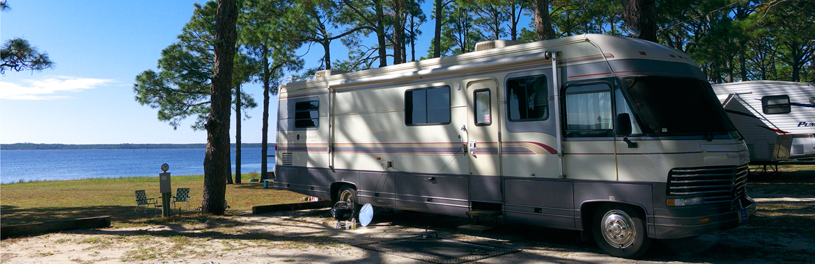
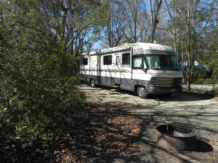
Campsites are all level gravel, some shady and some not, satellite tv worked and Sprint internet not so much. The sites are huge. Although there was no vegetation between sites where we were there was a lot of distance.
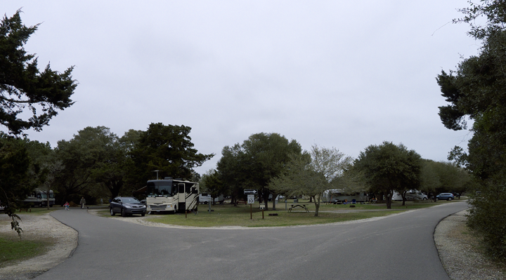
The campsites are huge with plenty of space between them.
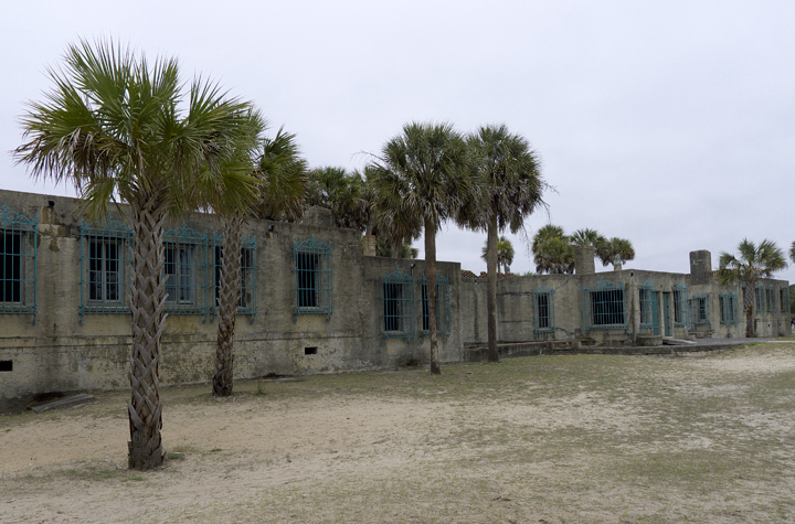
You can take a tour of Atalaya, the Huntington beach house. It looks a lot like a jail to me but I guess the ironwork kept the large critters out.
Although this probably won’t be a destination park for us we’ll definitely return if passing by.
16148 Ocean HWY | Murrells Inlet, SC 29576 | Phone: 843-237-4440 | Fax: 866-890-3977 | huntingtonbeach@scprt.com
Recent Comments